
- Accueil
- Livres
- Livres en langue étrangère
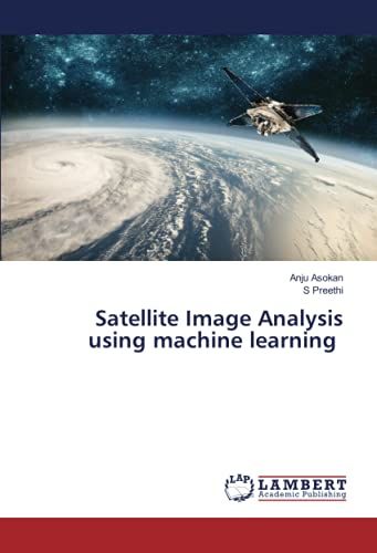
- Satellite images
Satellite Images
67 résultats
Meilleures ventes
A propos de «Meilleures ventes»

- Collection: Référence
- Format: Beau livre
Neuf à 39,95 €
Occasion dès 24,13 €
Vendez le vôtre

- Format: Broché
Neuf à 66 €
Vendez le vôtre

- Collection: BIOLOGIE, ECOLOGIE, AGRONOMIE
- Format: Broché
Neuf à 16 €
Occasion dès 6,49 €
Vendez le vôtre

- Format: Broché
Neuf à 182,16 €
Vendez le vôtre

Vendez le vôtre

- Format: Broché
Neuf à 66,62 €
Vendez le vôtre


- Format: Broché
Neuf à 70,31 €
Vendez le vôtre

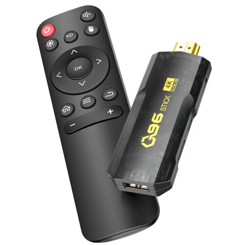
- Image & Son / Audio & Video > Satellite & TNT > Chromecast
- Streaming
Neuf dès 39,90 €
Vendez le vôtre

- Image & Son / Audio & Video > Satellite & TNT > Chromecast
Neuf dès 570,65 €
Vendez le vôtre

- Format: Broché
Neuf à 45,13 €
Occasion dès 74,99 €
Vendez le vôtre


- Format: Broché
Neuf à 92,35 €
Vendez le vôtre


- Format: Relié
Neuf à 224,53 €
Vendez le vôtre

Vendez le vôtre

- Format: Broché
Neuf à 62,33 €
Vendez le vôtre
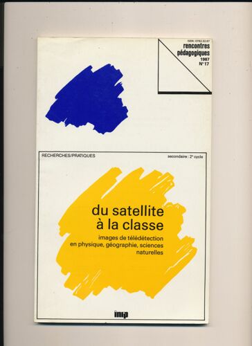
- Collection: rencontres pédagogiques
- Format: Broché
Neuf à 13 €
Vendez le vôtre

- Format: Relié
1 avis
Neuf à 29 €
Occasion dès 2,10 €
Vendez le vôtre


- Format: Broché
Occasion dès 3,91 €
Vendez le vôtre
- Format: Broché
Occasion dès 118,99 €
Vendez le vôtre


- Format: Broché
Occasion dès 6 €
Vendez le vôtre

- Format: Broché
Occasion dès 70,99 €
Vendez le vôtre

- Format: Broché
Occasion dès 87,99 €
Vendez le vôtre

- Format: Broché
Occasion dès 83,99 €
Vendez le vôtre

- Format: Broché
Occasion dès 161,99 €
Vendez le vôtre


- Format: Broché
Occasion dès 26,99 €
Vendez le vôtre

- Format: Broché
Occasion dès 24,99 €
Vendez le vôtre

- Format: Broché
Occasion dès 6,17 €
Vendez le vôtre


- Format: Poche
Occasion dès 50 €
Vendez le vôtre

- Format: Broché
Occasion dès 147,99 €
Vendez le vôtre

- Format: Broché
Occasion dès 50,99 €
Vendez le vôtre